
Namib Fog Life Cycle Analysis (NaFoLiCA)
- Contact:
- Funding:
Deutsche Forschungsgemeinschaft (DFG)
- Start Date:
2016
- End Date:
2020
Project Summary
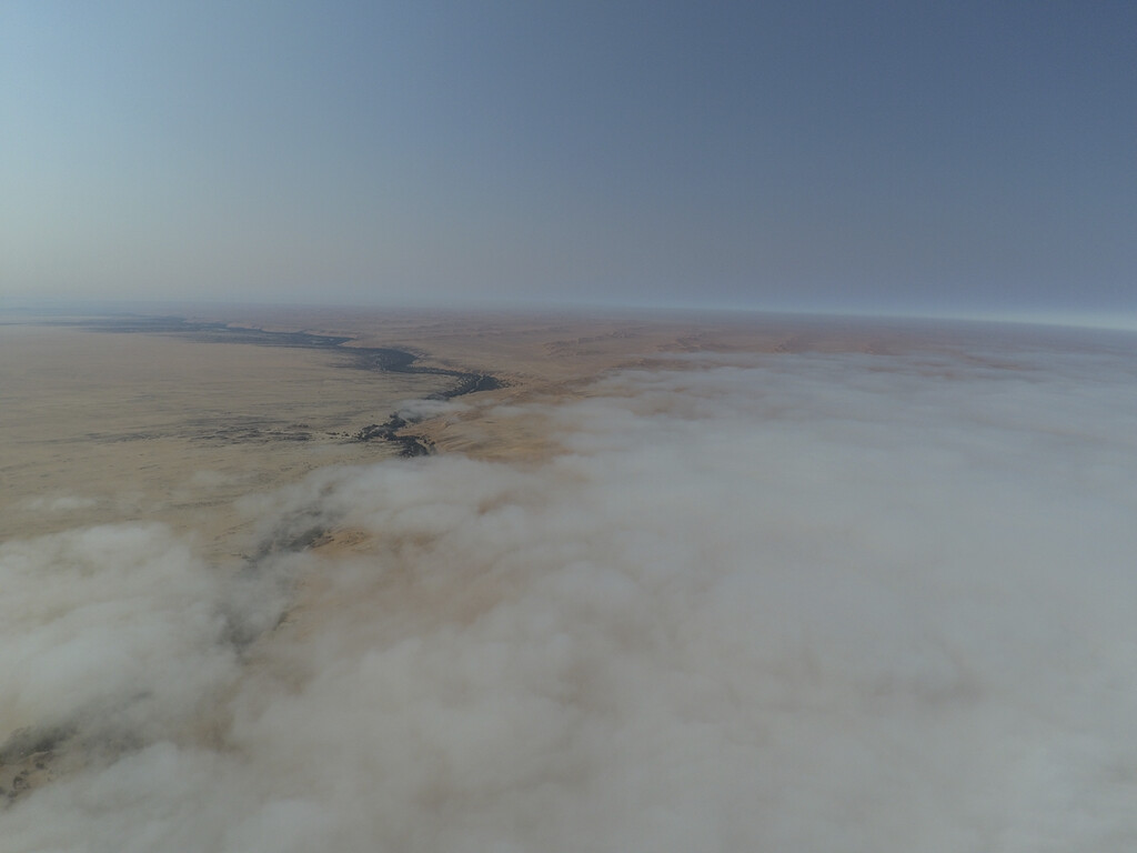
The Namib Desert is an approximately 2000km long 120-200 km wide coastal desert that is bounded by the cold upwelling of the Benguela current of the Southern Atlantic Ocean to the west, and gradually slopes upfill to the edge of the Great Escarpment to the east. The Namib is one of the driest places on Earth, and fog is a critical source of water for many species that have adapted to make use of fog water. The NaFoLiCA project is a project package consisting of three projects:
- NaFoLiCA-F will provide a field-based perspective using in-situ observations and ground-based remote sensing at several locations in the region (UBasel).
- NaFoLiCA-S will consider satellite data to characterize the spatial extent of fog and changes therein over time (KIT).
- NaFoLiCA-M will provide a numerical modeling perspective and combines process insights with spatial information (UBonn). The central aim of the NaFoLiCA project is to understand how temporal and spatial patterns of fog develop.
NaFoLiCA Field campaign September/October 2017
From 9 September to 9 October 2017 we conducted a fog measurement campaign in Namibia with the aim to investigate the spatial and temporal patterns of the coastal fog. A detailed description of the campaign can be found in Spirig et al. 2019 (BAMS)
NaFoLiCA-S highlights
In this publication [link to Andersen 2018], we present the first fully diurnal satellite detection of fog and low clouds (FLCs), revealing the spatial and temporal patterns in the Namib. A validation is conducted against station measurements in the central Namib and shows a high overall accuracy. The average timing and persistence of FLCs seem to depend on the distance to the coast, suggesting that the region is dominated by advection-driven FLCs.
![]()
In a second publication [link to Andersen 2019] we use observations from multiple satellite platforms and ground-based measurements to coherently characterize Namib-region FLC patterns. Findings concerning the seasonal cycle of the vertical structure and the diurnal cycle of FLCs lead to a new conceptual model of the spatiotemporal dynamics of FLCs in the Namib and help to improve the understanding of underlying processes.
![]()
In Andersen et al. (2020) we used our satellite-based FLC product, reanalysis data, and back trajectories to systematically analyze conditions when FLCs occur. Synoptic-scale mechanisms are identified that influence the formation of FLCs and the onshore advection of marine boundary-layer air masses. The findings lead to a new conceptual model of mechanisms that drive FLC variability in the Namib.
![]()