Fog and low clouds

Fog and low clouds impact human and natural systems in various ways. They affect traffic safety and air quality, modify the radiative balance of the climate system, and are of ecological importance as a water source in coastal deserts and tropical cloud forests. To better understand, characterize and predict their occurrence, knowledge of the spatial and temporal patterns as well as their physical properties is required, and satellites are the only way to coherently observe this phenomenon in time and space.
In the past, we have developed algorithms to detect and map patterns of fog and low clouds over Europe using multiple satellite systems and used information on cloud microphysics to delineate fog from low stratus. Currently, we use satellite observations to characterize and better understand fog and low clouds in the Namib desert in the project Namib Fog Life Cycle Analysis (NaFoLiCa).
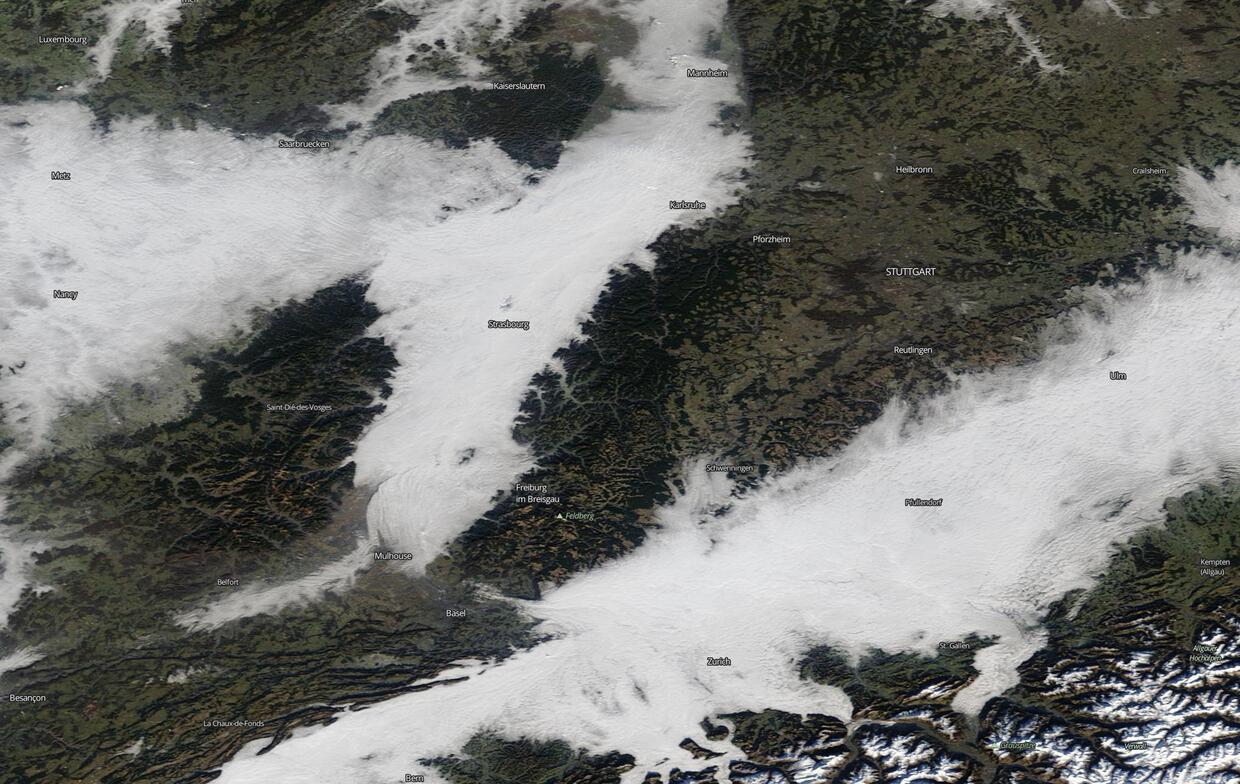
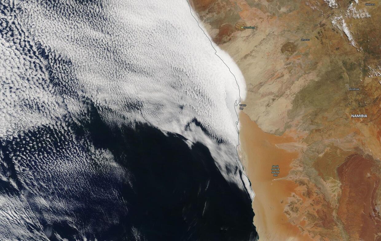
The images at the right show fog and low clouds over central Europe (top, on December 30th, 2016) and the Namibian coastline (bottom, on April 4th, 2019) as seen by the Moderate Resolution Imaging SpectroRadiometer (MODIS) instrument, aboard NASA's Terra and Aqua satellites (EOSDIS Worldview, 2019).
| Title | Contact | Funding |
|---|---|---|
| Namib Fog Life Cycle Analysis (NaFoLiCA) | Deutsche Forschungsgemeinschaft (DFG) |


