
Project Overview
LSA SAF is part of the distributed EUMETSAT (European Organization for the Exploitation of Meteorological Satellites) Application Ground Segment. The main purpose of the project is to increase the benefits from Meteosat Second & Third Generation (MSG & MTG) and European Polar System (EPS) and EPS - Second Generation (EPS-SG) satellite data related to land, land-atmosphere interactions and biophysical applications. Although designed to improve the observation of meteorological systems, the spectral characteristics, time resolution and global coverage offered by the four satellites allow for their use in a broad spectrum of other applications. LSA SAF is focused on the development and processing of satellite products that characterize the continental surfaces, such as radiation products, vegetation, evapotranspiration and wild fires.
https://lsa-saf.eumetsat.int/en/data/products/
Key objectives and research focus

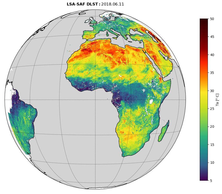
KIT’s main contributions are a) the in-situ validation of Land Surface Temperature (LST) and at-surface broadband-radiance products generated by LSA SAF and b) algorithm development and maintenance for LSA SAF’s derived LST products (DLST; LSA-003).
Current statuses and major updates

LSA SAF’s fourth Continuous Development and Operations phase (CDOP-4) ends in 2026. The project consortium is currently preparing for CDOP-5 (2027-01 to 2031-12).
For more details about the main contributors and collaborators of the project, please visit the LSA SAF About Us page.
Relevant publications and resources can be found here.